
Research Articles
Comprehensive evaluation of aircraft-based methane sensing for greenhouse gas mitigation
. Link opens in new window.
Stanford University
Our efficient and powerful methane detection tool
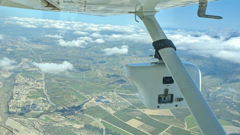
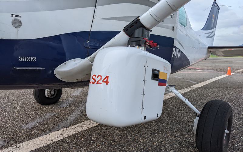
Our patented LeakSurveyor™ uses a spectrometer to measure patterns of sunlight energy absorbed by methane emissions with an adjustable sensitivity of 10 – 50 kg/hr. We combine spectrometer data with GPS/INS data and simultaneous optical imaging to provide customers with accurate, actionable data on exact location, heading, and real-time ground conditions around emission sources.
We fly the LeakSurveyor in a lawnmower-like pattern with overlaps between each pass. This strategy ensures complete coverage and guarantees that we will find emissions — no matter where they are in our survey area.
Data from each LeakSurveyor flight is securely processed through our proprietary data pipeline and reviewed by multiple stages of automation and in-house analysts. The end result is a concise report including emission size, the location of the emission source, and imagery to show the field conditions around the emission.
Committed to scientific rigor
Insight M’s LeakSurveyor technology is among the most rigorously tested methane detection technologies on the market today. LeakSurveyor was developed by leading methane scientists and its 90% probability of detection (PoD) at 10 kg/hr and above has been tested in several single-blind controlled release studies (El Abbadi et al., 2024) by independent experts at Stanford University. Data from LeakSurveyor has been vetted and published in scientific journals, such as Nature, and is trusted by S&P Global Commodity Insights Center for Emissions Excellence to provide the most accurate public, basin-wide estimate of fugitive methane leaks and venting released to date.
Stanford University
Stanford University